
Border and Bridge Wait Times, Live
Wait times at 40 crossings from Mexico into the U.S., with official CBP data, and 24 live cameras.
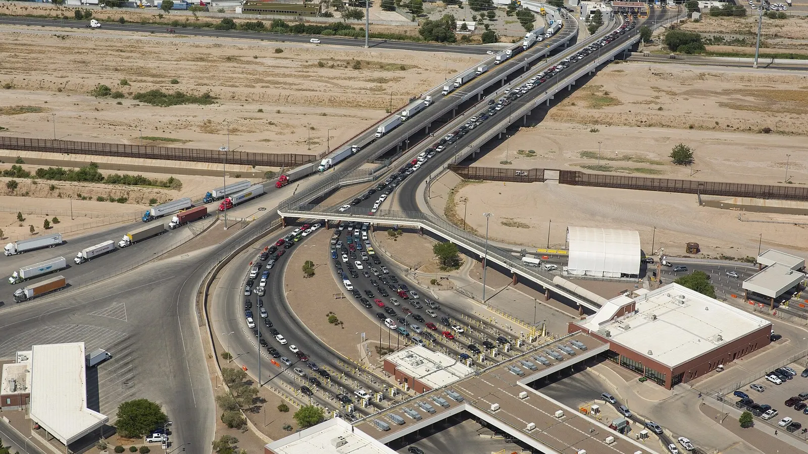
Zaragoza Bridge, between Ciudad Juárez and El Paso. Photo: James Tourtellotte, U.S. Customs and Border Protection, public domain.
Border wait times right now
By car, general lanes
CBP data updated 47 min ago Refresh
Source: CBP. Northbound, Mexico → United States. Tap a city to see all its crossings.
All crossings
Cities
Andrade 1 crossing
Andrade
Brownsville 4 crossings
Brownsville
Calexico 2 crossings
Calexico
Columbus 1 crossing
Columbus
Del Rio 1 crossing
Del Rio
Donna 1 crossing
Donna
Douglas 1 crossing
Douglas
Eagle Pass 2 crossings
Eagle Pass
El Paso 7 crossings
El Paso
Laredo 4 crossings
Laredo
Lukeville 1 crossing
Lukeville
McAllen 3 crossings
McAllen
Naco 1 crossing
Naco
Nogales 2 crossings
Nogales
Presidio 1 crossing
Presidio
Progreso 1 crossing
Progreso
Rio Grande City 1 crossing
Rio Grande City
Roma 1 crossing
Roma
San Luis 1 crossing
San Luis
Tecate 1 crossing
Tecate
Tijuana 3 crossings
Tijuana
Crossings
- Arizona 6 crossings
- California 7 crossings
- Eagle Pass & Del Rio 3 crossings
- New Mexico & West Texas 9 crossings
- South Texas 15 crossings
How the line looks, city by city
Every city with two or more crossings has its own page, which ranks them from fastest to slowest with the latest CBP data, northbound into the U.S.:
- In California, the San Diego–Tijuana crossings (San Ysidro, Otay Mesa and CBX) and the Calexico–Mexicali crossings.
- In Arizona, the Nogales crossings.
- In West Texas, the El Paso–Juárez bridges: the Bridge of the Americas, Paso del Norte, Stanton and Zaragoza, with their live cameras.
- Down the Rio Grande, the Eagle Pass bridges, with their live cameras.
- In South Texas, the Laredo bridges, the McAllen bridges and the Brownsville bridges, the last of these with live cameras.
The other crossings, from Tecate to Progreso, each have their own page: you'll find them on the map and in the index above.
What each lane means
- General: for any valid travel document. CBP calls these lanes "standard."
- Ready Lane: only with a document that has an RFID chip, such as a passport card, a green card or a recent Border Crossing Card (the laser visa).
- SENTRI: only for people enrolled in that trusted traveler program.
- On foot: the pedestrian line, which at some crossings also has its own Ready Lane.
- Cargo and FAST: the truck lanes; FAST is the one for enrolled carriers.
Where the numbers come from
The wait times are the ones published by CBP, U.S. Customs and Border Protection, for crossing from Mexico into the U.S. CBP updates each crossing about once an hour, and here every number shows the time of its reading. When a crossing is closed, the page says so and gives its hours instead of showing an old wait time.
The live cameras belong to their owners and appear on the page of each crossing that has one, below the wait times: they let you check with your own eyes what the number doesn't show yet. All of them, city by city, are on the border and bridge cameras page.