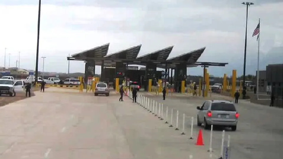
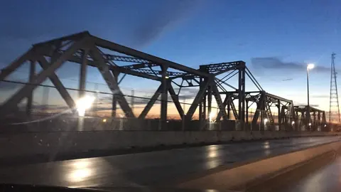
About the Anzalduas Bridge
It goes by the same name in both countries: Anzalduas International Bridge in Texas, which is how CBP lists it, and Puente Internacional Anzaldúas in Mexico. It opened on December 15, 2009, to take traffic off the Hidalgo Bridge. It's very long: with its viaducts it measures about 3 miles, because on the Texas side it runs elevated to stay clear of a wildlife refuge. It shares its name with Anzalduas Dam, about 2 miles upriver.
Getting there and where it lets you out
On the Texas side the bridge continues as Anzalduas Highway (FM 396) and runs up to Mission, whose downtown is about 7 miles away; downtown McAllen is about 9.
On the Mexican side the approach leaves Federal Highway 2, the Ribereña that comes down from Nuevo Laredo, west of Reynosa, and it connects with Federal Highway 40, the road to Monterrey. It's about 3 miles from downtown Reynosa.
Car lanes at the Anzalduas Bridge
There are three car lines: the general lanes (CBP calls them standard), the Ready Lane, for travelers carrying a document with an RFID chip, and SENTRI, for people enrolled in that program. There's no pedestrian line and no cargo lane into the U.S.: to walk across, the bridge is Hidalgo, and trucks go through Pharr. It isn't open at night: its hours, the ones CBP gives, are shown above, next to the wait times.
Best time to cross the Anzalduas Bridge
CBP updates the data every hour, and the arrow on each lane tells you whether the wait is going up or down.
The Hidalgo Bridge is about 3 miles downriver, in downtown Reynosa, and it's open 24 hours. The Pharr Bridge, to the east, is about 8 miles away. The McAllen–Reynosa bridges page ranks all three from fastest to slowest.
Frequently asked questions
Can you walk across the Anzalduas Bridge?
There's no pedestrian line into the U.S. The bridge for crossing on foot from Reynosa is the Hidalgo Bridge.
Is the Anzalduas Bridge open 24 hours?
No, it closes at night. Of the three Reynosa bridges, the only one open 24 hours is the Hidalgo Bridge.
Is there a SENTRI lane at the Anzalduas Bridge?
Yes. Cars have three lines here: general, Ready Lane and SENTRI.
What Texas city does the Anzalduas Bridge go to?
Mission, McAllen's neighbor to the west. The bridge road, FM 396, runs entirely inside Mission.