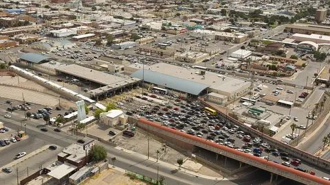
About the Fort Hancock bridge
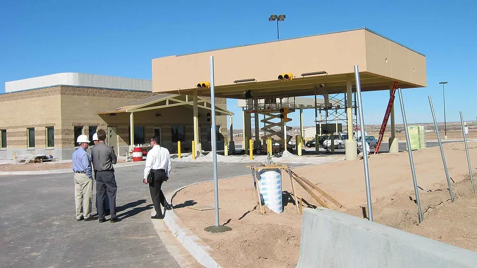
In the U.S. it's the Fort Hancock–El Porvenir International Bridge, and CBP lists it as Fort Hancock; on the Mexican side it's simply the El Porvenir bridge. It's a two-lane bridge about 525 feet long, built by the International Boundary and Water Commission in 1936. The U.S. port of entry you see today dates from the early 2000s. Fort Hancock is in Hudspeth County, and El Porvenir belongs to the municipality of Praxedis G. Guerrero. Of the crossings near Ciudad Juárez, it's the one farthest downriver.
Getting there and where it lets you out
On the Mexican side, you reach it on Federal Highway 2, which comes from Ciudad Juárez through the whole Juárez Valley and ends right here; it's the same highway that starts in Tijuana. From Juárez it's almost 50 miles. On the Texas side, FM 1088 heads up to Fort Hancock, next to I-10. On I-10, El Paso is about 53 miles to the northwest.
Car and pedestrian lanes at Fort Hancock
You can cross at Fort Hancock by car and on foot, and CBP reports the wait for the general lane of each one (CBP calls them "standard"). Commercial trucks can't enter the U.S. here. And it's only open during the day: its hours, which come from CBP, are at the top of this page, next to the wait time.
Best time to cross Fort Hancock
CBP updates the figure about once an hour, and the arrow shows whether the wait is going up or down. Since it's far from everything, check at the top of the page that it's open before you make the trip.
If you find it closed, the nearest crossing is Tornillo, about 20 miles upriver, which isn't open overnight either. The first one that's open 24 hours is the Zaragoza Bridge, between Ciudad Juárez and El Paso, close to 40 miles away. With cargo, those same two are your options. The El Paso bridge wait times page compares every crossing in the area with the latest data.
Downriver, the next crossing is Presidio, more than 140 miles away in a straight line.
Frequently asked questions
What are the hours at the Fort Hancock port of entry?
It isn't open 24 hours: it's only open during the day. The hours CBP publishes are at the top of this page, next to the wait time.
Can commercial trucks cross at Fort Hancock?
No. Trucks can't enter the U.S. here: with cargo, the nearest options are Tornillo and the Zaragoza Bridge.