About the Progreso Bridge
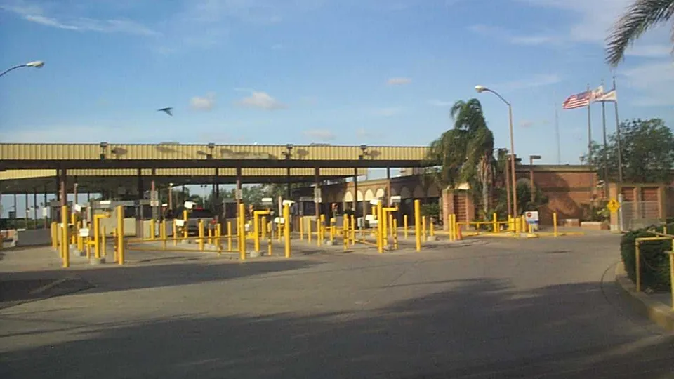
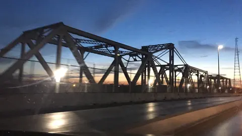
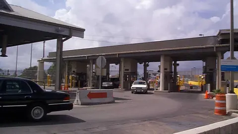
In Texas it's the Progreso International Bridge (its official name is Weslaco–Progreso, and some people call it the B&P Bridge), and CBP lists it as Progreso. On the Mexican side it's also known as the Las Flores bridge, the name the town had before it became Nuevo Progreso. There has been a bridge here since 1952. The current one dates from 2003: it has four lanes and covered walkways on both sides for people crossing on foot. Trucks use a separate bridge, right alongside it to the east.
Getting there and where it lets you out
On the Texas side you come out on FM 1015, which is called Bill Summers International Boulevard there; it crosses US 281 and runs up to Weslaco, about 7 miles away. The town of Progreso is about 2.5 miles from the bridge. Before the entrance, on both sides of the road, there are parking lots for people who would rather leave the car in Texas and walk across.
On the Mexican side the bridge empties onto Avenida Benito Juárez, Nuevo Progreso's main street: the first blocks of town start as soon as you come off the bridge.
Car, pedestrian and cargo lanes at the Progreso Bridge
By car there are two lines: the general lanes (CBP calls them standard) and the Ready Lane, which is for travelers carrying a document with an RFID chip. On foot, the same two. There's no SENTRI lane. Cargo has one general line.
Best time to cross the Progreso Bridge
CBP updates the wait time every hour, and the arrow on each lane tells you whether it's rising or falling.
If the car line is long, the Donna Bridge is about 7 miles upriver; that one isn't open at night. Downriver, the next crossing is the Los Indios Bridge, about 12 miles away, already on the way to Matamoros; it isn't open at night either, and it has no pedestrian line. The rest of the region's crossings are on the South Texas page.
Frequently asked questions
Can you walk across the Progreso Bridge?
Yes. The bridge has covered walkways on both sides, and heading into the U.S. there's a general pedestrian line and a pedestrian Ready Lane.
Is the Progreso Bridge open at night?
Yes, it's a 24-hour crossing. Its two neighbors, Donna and Los Indios, close at night.
Are the Las Flores bridge and the Progreso Bridge the same?
Yes. Las Flores is the name on the booth on the Mexican side; on the Texas side it's the Progreso bridge.