What the Del Rio bridge cameras show
These cameras move on their own. One sweeps the crossing from side to side: the bridge over the Rio Grande with its line, the approach to the Del Rio port of entry and the entrance to Mexico. The other shows the boulevard cargo takes to reach the bridge, with the trucks lined up.
The whole crossing, from one side to the other
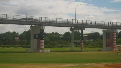
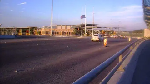
This is a motorized camera that changes its framing on its own, with music in the background. On its sweep it shows the bridge over the Rio Grande, with cars and tractor-trailers lined up on it; the U.S. port of entry on the Del Rio side, with vehicles pulling up to its booths; the river; and the entrance to Mexico, under the "Bienvenidos a México" sign.
It's the only view of the whole crossing. If the line fills the bridge all the way back to the Mexican side, the wait is long; if there are only vehicles near the Del Rio booths, you'll get across soon. Since the camera moves, you have to wait for it to come back around to the bridge. The picture carries the date and, along the bottom, ads from its owner.
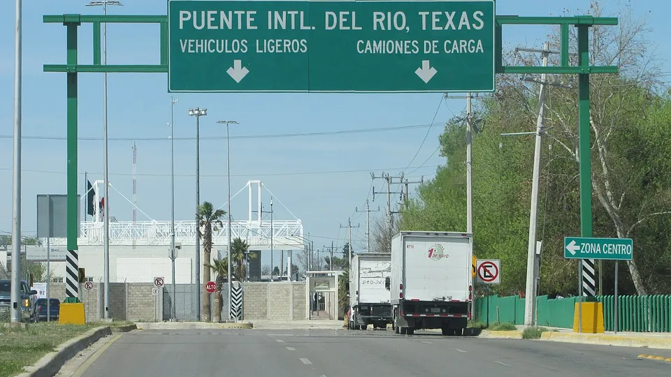
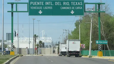
The truck line on Bulevar Jesús María Ramón
Another camera that moves on its own, this one over Bulevar Jesús María Ramón, the road cargo takes to the bridge. It shows the row of tractor-trailers stopped in one lane, all along the boulevard, and the Mexican cargo customs facility, with its inspection gantry.
If you're crossing by car it doesn't tell you much: cars don't line up here. Truckers, on the other hand, can see how many trucks are ahead of them before they reach the bridge, something the CBP wait time doesn't spell out, since it gives only one general cargo line. The picture carries the date and, along the bottom, ads from its owner.
About the Del Rio bridge
Its full name is the Del Río–Ciudad Acuña International Bridge. On the U.S. side the crossing is called Del Rio, and that's the name CBP lists it under. The bridge was built in 1930 and rebuilt in 1987: it has four lanes, sidewalks on both sides and is about 2,000 feet long. The Mexican side is run by Caminos y Puentes Federales (CAPUFE), Mexico's federal roads and bridges agency; the U.S. side belongs to the City of Del Rio.
Getting there and where it lets you out
On the Mexican side, the bridge starts in downtown Ciudad Acuña, next to Hidalgo and Francisco Javier Mina streets. On the other side, the U.S. port of entry sits southwest of Del Rio, a few miles from downtown. The bridge road, International Bridge Road, takes you into the city and connects with US 90 and US 277.
Car and cargo lanes at Del Rio
By car there are three lines: the general lanes (CBP calls them "standard"); the Ready Lane, which requires a document with an RFID chip; and the SENTRI lane, only for people enrolled in that program. Commercial trucks cross here too, in a single general cargo line.
Best time to cross the Del Rio bridge
CBP updates the number once an hour, and the arrow next to each lane shows whether the wait is going up or down. As on the rest of the border, the line into the U.S. tends to be longer early on weekdays, and on weekends and holidays in either country.
Acuña has no second bridge. The other way into Del Rio is the Amistad Dam crossing, about 12 miles upriver: it doesn't take trucks, and CBP doesn't publish its wait. The nearest bridges are in Piedras Negras, about 50 miles downriver: Eagle Pass Bridge 1 and Eagle Pass Bridge 2, compared side by side on the Eagle Pass bridges page. All three crossings on this stretch have their own page under Eagle Pass & Del Rio.
Frequently asked questions
Is the Del Rio bridge open 24 hours?
Yes. That doesn't mean every lane runs around the clock: when one is closed, the page says so at the top.
Can you walk across the Del Rio bridge?
The bridge has sidewalks, but CBP doesn't publish a pedestrian wait time. And on the U.S. side, downtown Del Rio is a few miles from the port of entry.
Is there a SENTRI lane at Del Rio?
Yes. By car you'll find the general lanes, a Ready Lane and a SENTRI lane. Commercial trucks have one general line.